
Sentinel-2 and Landsat, on demand.
Search scenes, view them on a map in true colour, false colour or NDVI, and download exactly the area you need as a GeoTIFF. Rendered on the fly from the public archives, with nothing to preprocess.

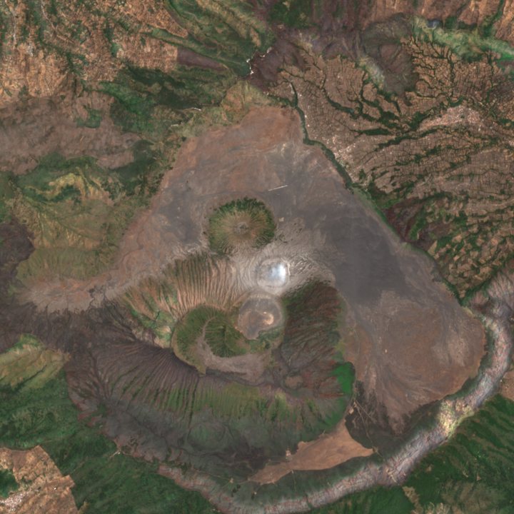
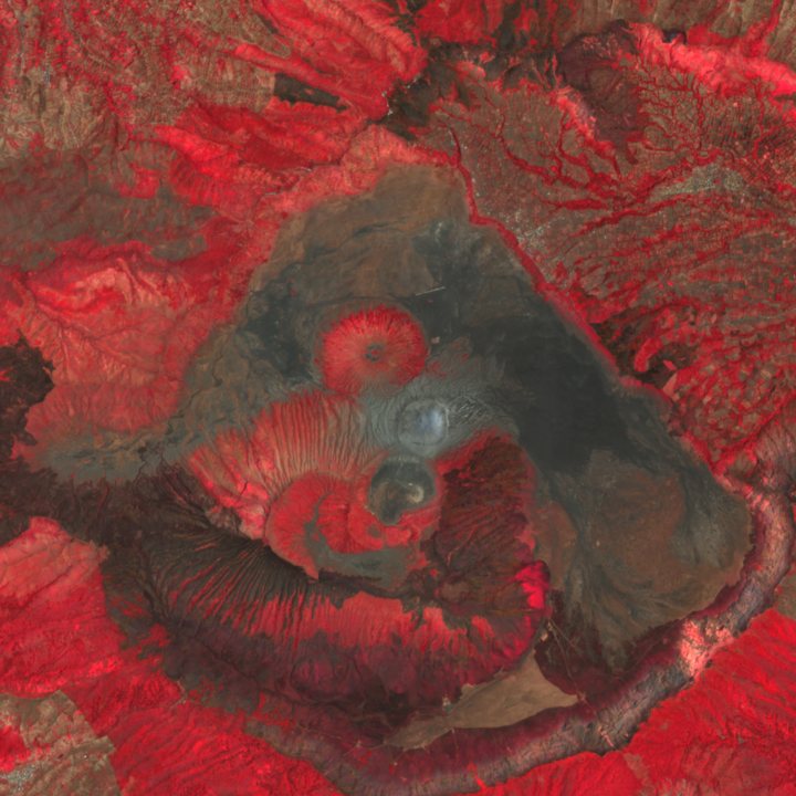
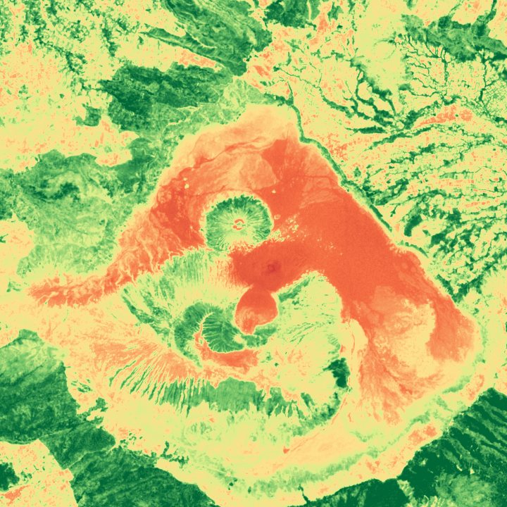
One scene, three looks
The same pixels, rendered three ways. Switch between them on the map, or ask the API for any band combination.
What you can do
One API key covers all of it: the map, the tiles and the downloads.
Search
Find scenes by place, date range and cloud cover through a standard STAC API.
Map tiles
XYZ tiles and TileJSON for any scene, ready for MapLibre, Leaflet or QGIS.
GeoTIFF downloads
Choose an area, pick bands, and get a clipped, analysis-ready GeoTIFF.
Mosaics
Combine several scenes into one seamless image, on the map or as a download.
Collections
Read from the public Sentinel-2 and Landsat archives on AWS. Each collection has its own page in the docs with bands, values and limits.
| Collection | What it is |
|---|---|
| Sentinel-2 L2A | Surface reflectance, atmospherically corrected |
| Sentinel-2 L1C | Top-of-atmosphere reflectance; tiles from zoom 12 |
| Landsat 8–9 Level-2 | Surface reflectance and surface temperature |
| Landsat 8–9 Level-1 | Top-of-atmosphere reflectance, with the 15 m panchromatic band |
Getting access
The service runs on API keys. Sign-up is forthcoming; the docs are open to everyone now.